TEL: 07979 812392
Surveys For Flood Risk Analysis

With the increasing awareness of flooding and its impact on the environment, new developments by
Architects, Consulting Engineers, Developers and House builders must satisfy the relevant authorities as to the risks of flooding.

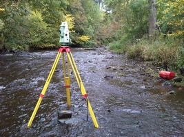
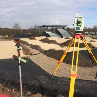
We provide our surveys relating to Ordnance Survey Datum levels by using the Leica Smartnet GNSS system.
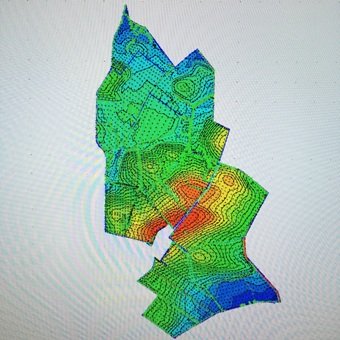
The survey then can be used as the basis of any development’s flood risk analysis usually carried out by a consulting engineer.


