TEL: 07979 812392
Setting Out Consultancy
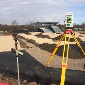
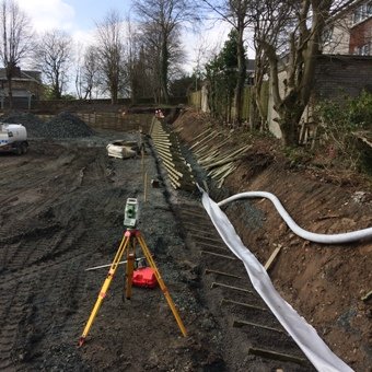
For many years, construction site works have been set out using coordinate systems. Coordinate systems are normally based upon Ordnance Survey National Grid coordinates or a site specific grid. The coordinate systems are usually based upon an original site Topographical Survey.
Works which are set out on site include, but are not limited to, the following:
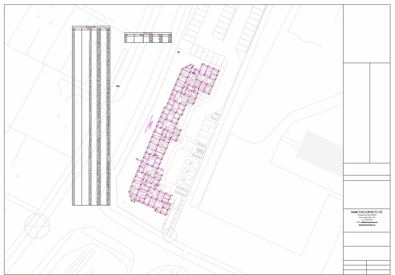
- Building foundation piles
- Building strip foundations
- Bricklaying lines on foundations
- Building service pop up locations
- Retaining walls
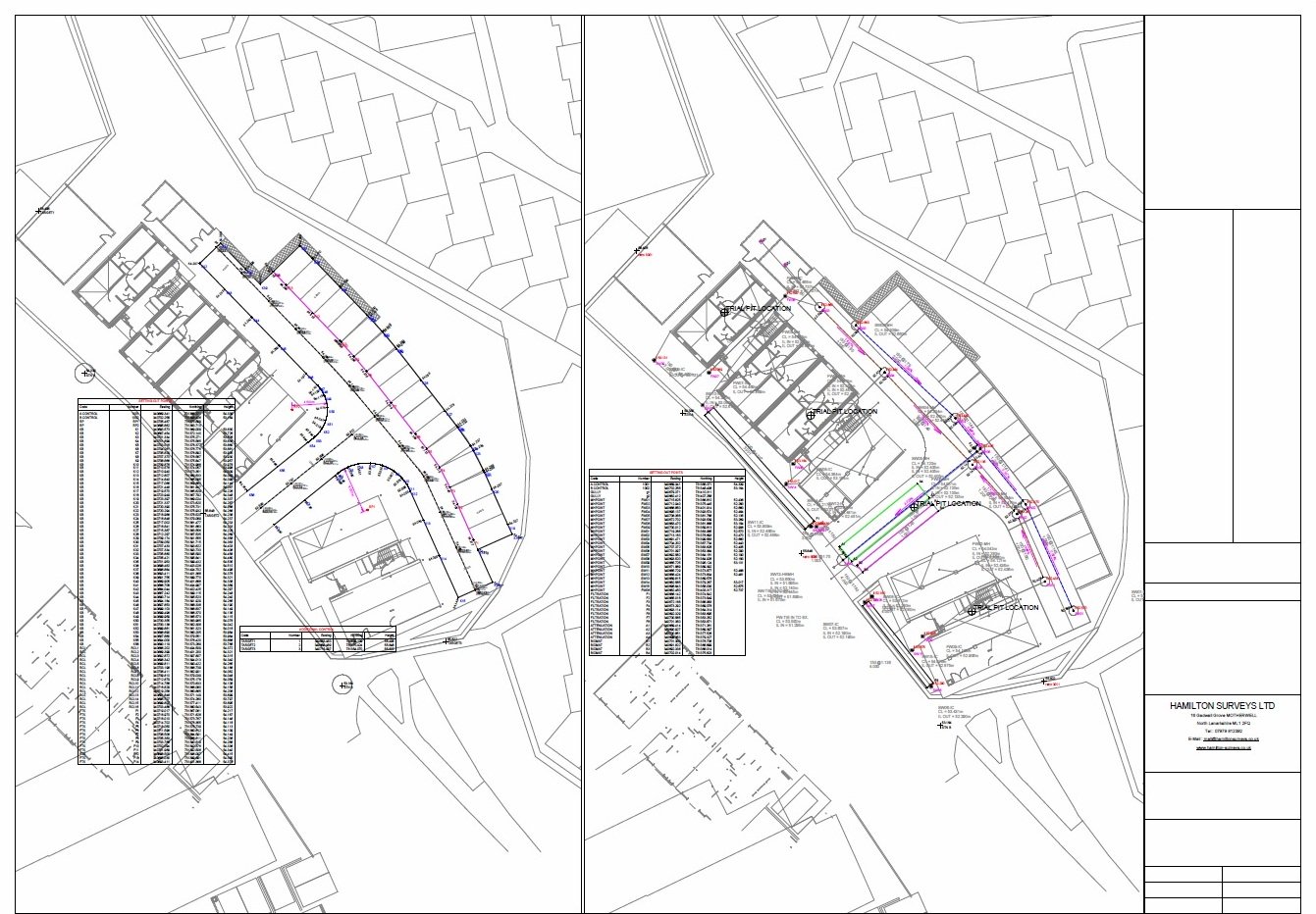
- Manholes/ drainage/ attenuation tanks etc
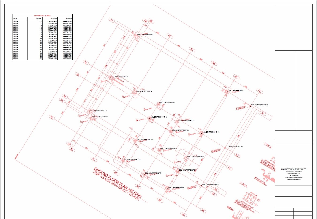
- Steel frame building foundation bolts
- Fence lines
- Road kerb lines / kerb log foundations
- Proposed service duct lines
- Proposed trail pit locations
- Proposed finished landscape contour lines
Setting Out Consultancy Service
To assist the contractor, and to enable the site engineer to be on site setting out, rather than calculating setting out coordinates, we offer a service of providing setting out information.
We liaise with the principle designers, usually Architects or Consulting Engineers, receiving their proposed layout drawings in Cad format.
We carry out an analysis of the drawings in order to extract coordinates for setting out.
Drawing Production
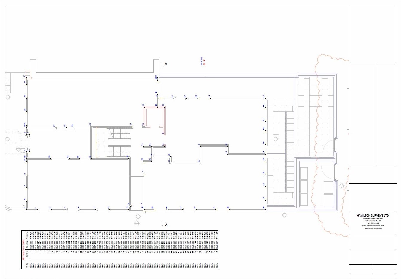
We produce drawings showing tabulated setting out coordinate points.
Drawings can also show additional data such as
- Dimensions for cross checking eg road widths, measurements to boundary features,building grid sizes etc
- Radius values of road kerblines
- Proposed drainage pipeline grades
- Bearings of reference lines
This additional information will assist the engineer on site.
The drawings can be emailed direct to the setting out engineer on site or in the office.
Drawing layouts are normally overlaid onto design layouts for cross checking and referencing.
Setting out coordinate files are created and formatted to be uploaded directly to the site engineers instruments on site.
If required we can also receive as built setting out or survey data for producing as built drawings on behalf of clients.
To view examples of setting out drawings in detail, click on the images below to download in PDF format.
